이미지 검색결과 더보기 »
Hubbard Glacier
| Hubbard Glacier | |
|---|---|
 | |
| Type | Tidewater/Mountain glacier AKA Valley Glacier |
| Location | Yakutat City and Borough, Alaska, U.S., Yukon, Canada |
| Coordinates |  60°18′50″N 139°22′15″W / 60.31389°N 139.37083°W / 60.31389; -139.37083Coordinates: 60°18′50″N 139°22′15″W / 60.31389°N 139.37083°W / 60.31389; -139.37083Coordinates: |
| Length | 122 kilometres (76 mi) |
| Terminus | Sealevel |
| Status | Advancing |
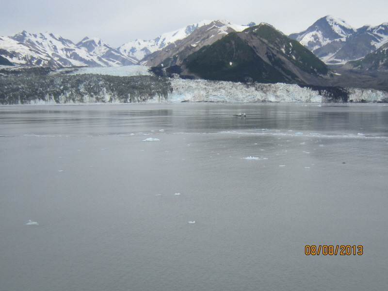
Hubbard Glacier is a glacier located in eastern Alaska and part of Canada.


The longest source for Hubbard Glacier originates 122 kilometres (76 mi) from its snout and is located at about
![]() WikiMiniAtlas
WikiMiniAtlas![]() WikiMiniAtlas
WikiMiniAtlas
Before it reaches the sea, Hubbard is joined by the Valerie Glacier to the west, which, through forward surges of its own ice, has contributed to the advance of the ice flow that experts believe will eventually dam the Russell Fiord from Disenchantment Bay waters.
The Hubbard Glacier ice margin has continued to advance for about a century. In May 1986, the Hubbard Glacier surged forward, blocking the outlet of Russell Fjord and creating "Russell Lake." All that summer the new lake filled with runoff; its water level rose 25 metres (82 ft), and the decrease in salinity threatened its sea life.[1]
Around midnight on October 8 the dam began to give way. In the next 24 hours an estimated 5.3 cubic kilometres (1.3 cu mi) of water gushed through the gap, and the fiord was reconnected to the ocean at its previous level.[1] This was the second largest glacial lake outburst flood (GLOF) in recorded history, and had the equivalent flow of about 35 Niagara Falls.
In spring 2002, the glacier again approached Bert Point. It pushed a terminal moraine ahead of its face and closed the opening again in July. On August 14, the terminal moraine was washed away after rains had raised the water level behind the dam it formed to 18 m (59 ft) above sea level.[2] The fiord could become dammed again, and perhaps permanently. If this happens, the fiord could overflow its southern banks and drain through the Situk River instead, threatening trout habitat and a local airport.
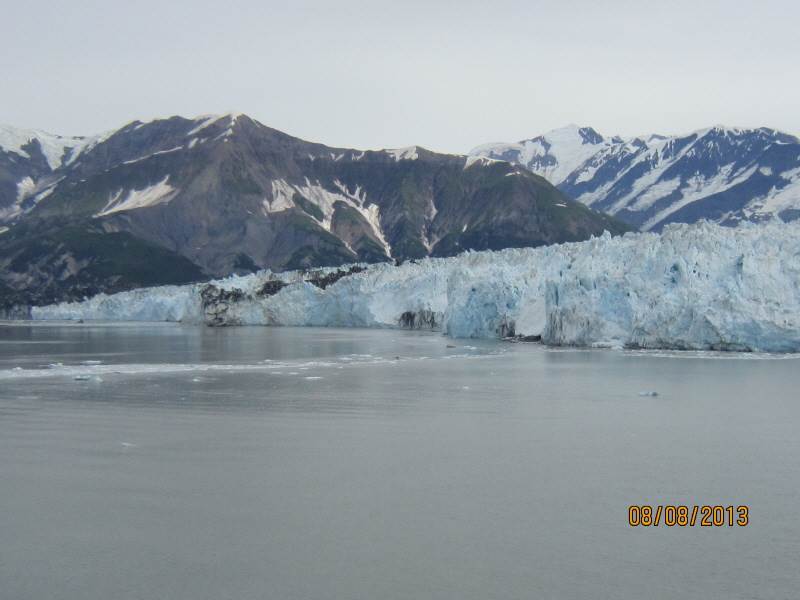
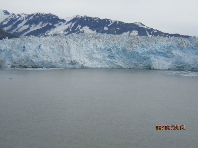
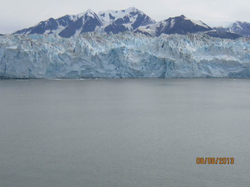
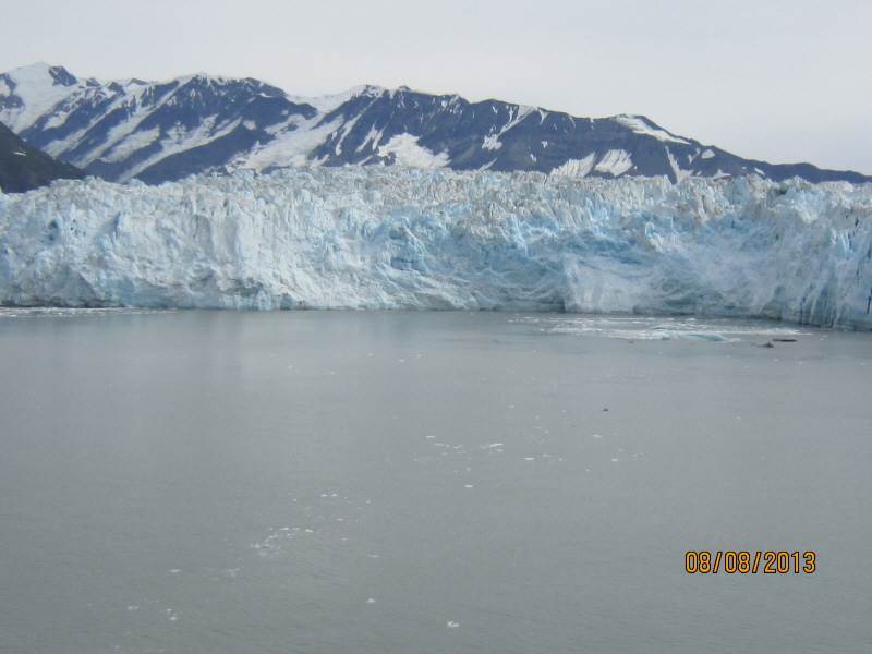
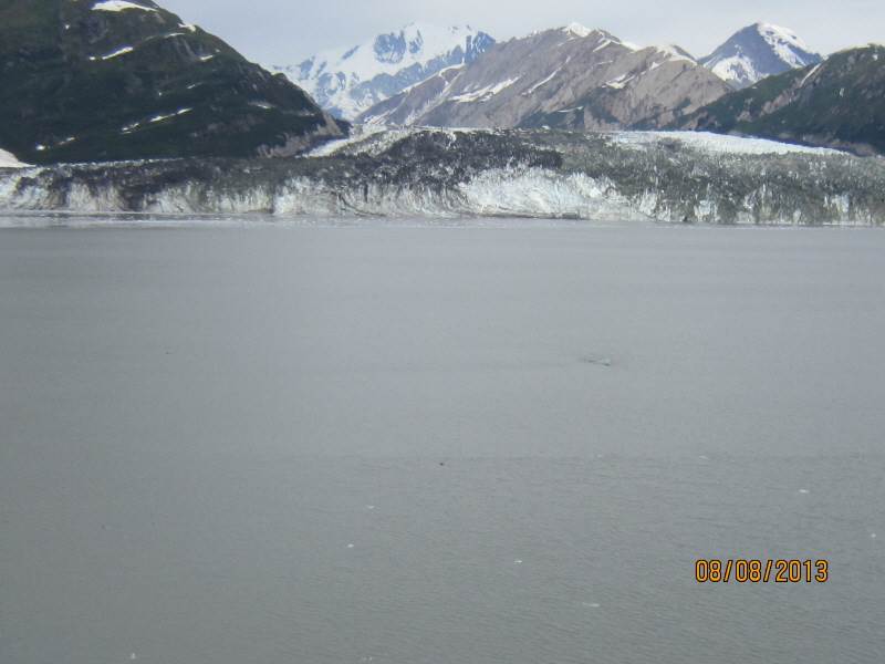
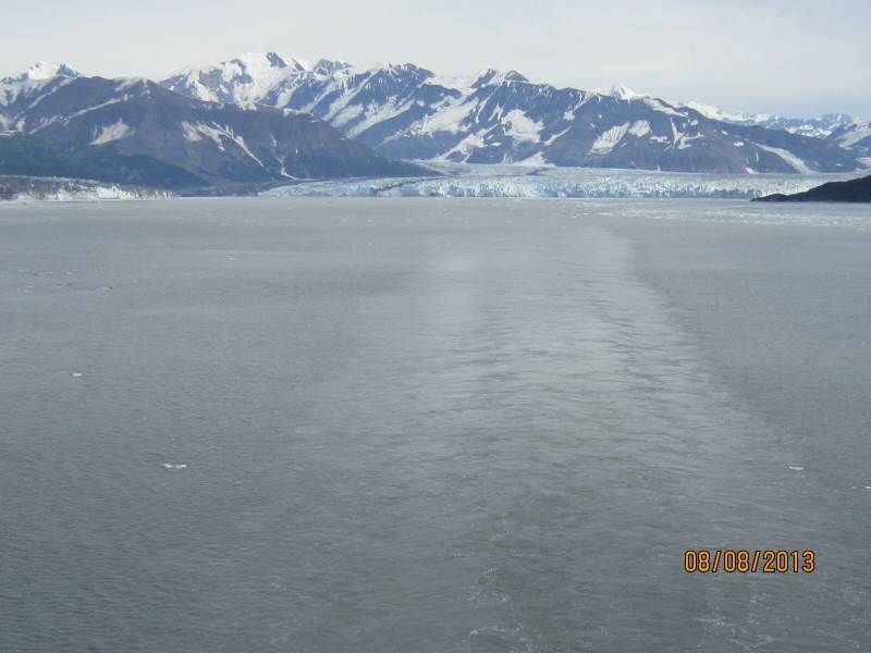
It takes about 400 years for ice to traverse the length of the glacier, meaning that the ice at the foot of the glacier is about 400 years old. The glacier routinely calves[3] off icebergs the size of a ten-story building. Where the glacier meets the shore, most of the ice is below the waterline, and newly calved icebergs can shoot up quite dramatically, so that ships must keep their distance from it as they ply their way up and down the coast.
Contents
[hide]- 1 Cited references
- 2 See also
- 3 Image gallery
- 4 External links
- ^ a b "USGS Report: Hubbard Glacier, Alaska: Growing and Advancing in Spite of Global Climate Change and the 1986 and 2002 Russell Lake Outburst Floods". U.S. Geological Survey. Retrieved 2007-01-18.
- ^ "2002 Russell Fiord Closure and Russell Lake Outburst". Water Resources of Alaska • Glacier and Snow Program. U.S. Geological Survey. January 3, 2007. Retrieved 2007-07-07.
- ^ Ellin Beltz glossary of glacier terms Retrieved May 3, 2013.
- Glacial lake outburst flood
- Ice calving
- List of glaciers
-

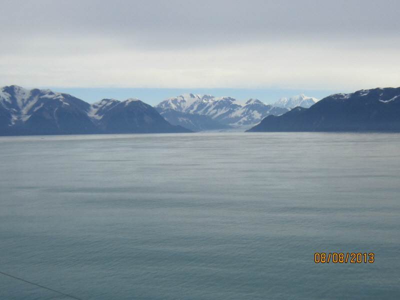
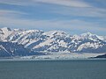
The glacier from a distance
-
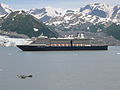
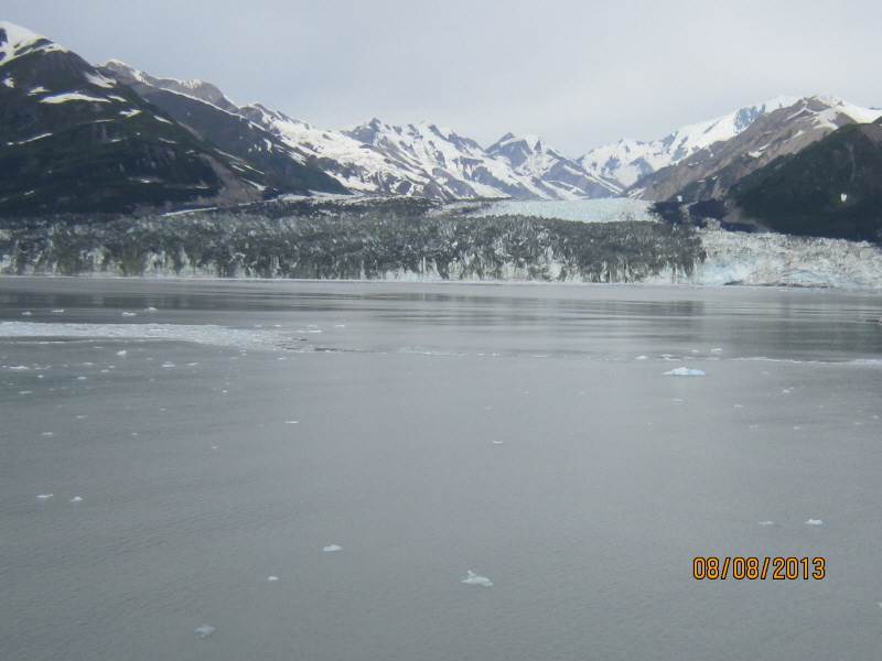
Holland America Line's MS Oosterdam passing Turner Glacier while leaving Disenchantment Bay
-
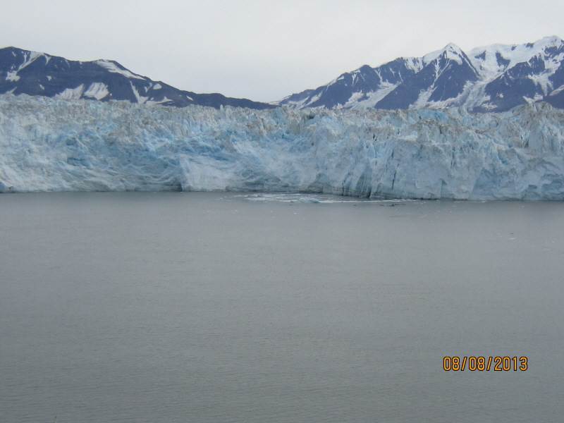
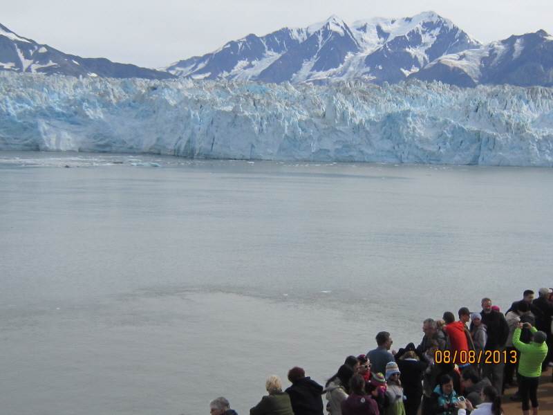
Hubbard Glacier and icebergs formed by calving
-

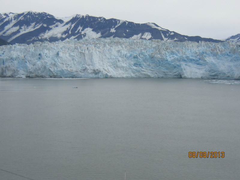
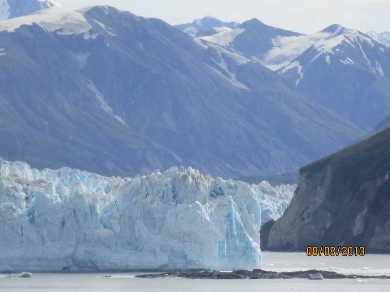
Closeup of Hubbard Glacier
Cited references
See also
Image gallery


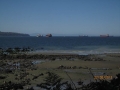
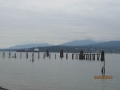
 Alaska Cruise (4) - Cruising to Juneau
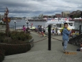
 Alaska Cruise (2) - Icy Straight Point